Training Rides
This page includes some pictures that I took while I was training for the Southern Transcontinental ride across the United States.
-
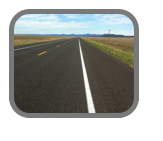
Highway 64, Northern New Mexico Highlands, looking west.
-
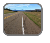
Highway 64, looking west, 15 miles from Philmont Scout Ranch
-
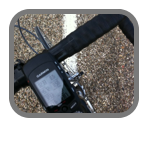
Garmin readout - Note that the ride sof far is 45 miles.
-
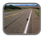
Highway 64, mountains in the distance are Philmont Scout Ranch.
-
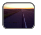
Early morning ride, Highway 64
-
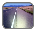
Early morning ride, Highway 64. Note, the light is required!
-
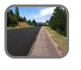
S. Highway 14, east of Albuquerque. Elevation is about 7400 feet.
-
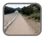
Heading back to Albuquerque, old Highway 66.
-
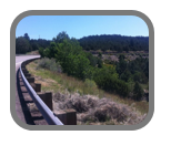
Climbing on Highway 14, southeast of Albuquerque.
-
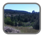
Climbing on Highway 14, southeast of Albuquerque
-
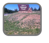
Top of Highway 14, elevation 7400 feet.